Informed Decision Making.
Precision, Expertise, and Trust
Here at Walker-geomatics we understand the importance of precise measurements and detailed mapping to the success of your projects. With years of experience and state-of-the-art technology, we’re committed to delivering the highest quality surveying solutions tailored to your unique needs.


Our Mission
We understand the importance of Geospatial technologies to deliver the maximum benefit from information by supporting our clients with solutions to the challenges of the industries today and tomorrow
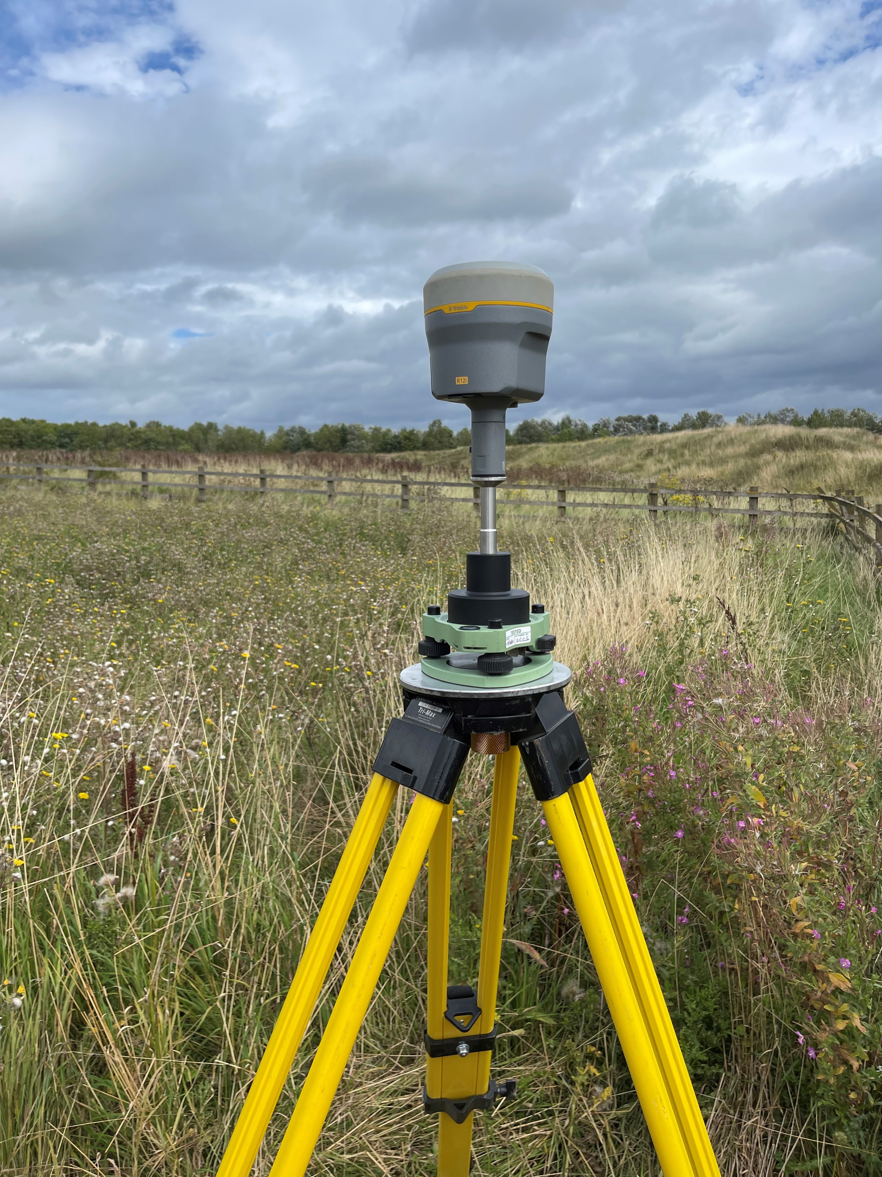
Land Surveys
a land survey is a vital start to many projects – and it needs to be conducted quickly, accurately, and with safety in mind to inform all parties in the next step.
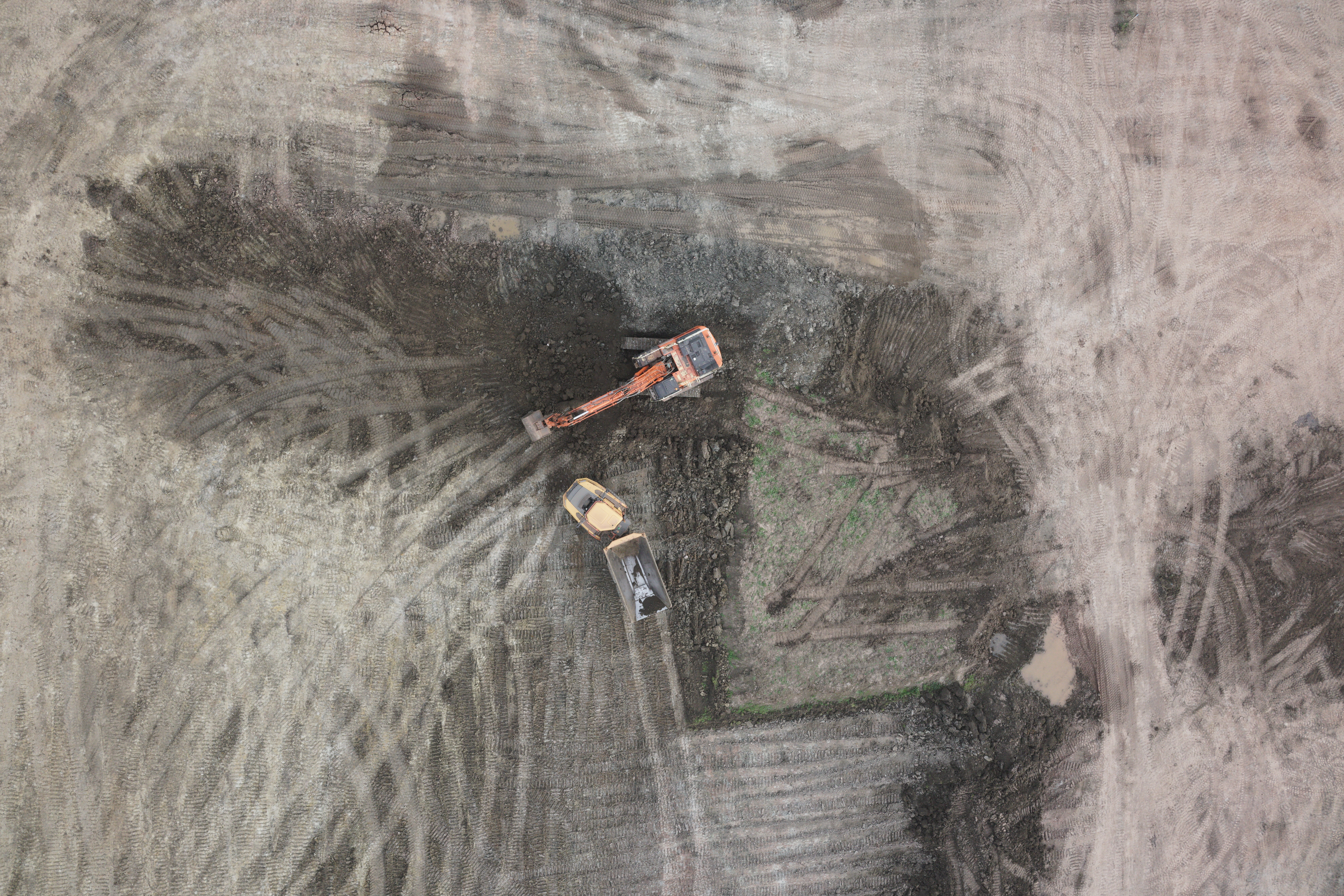
Site Engineering
As experienced site engineers we will work alongside your on-site team to manage piling, earthwork, groundwork and foundations, ensuring construction proceeds on-time and on-budget. and most importantly accuratley.
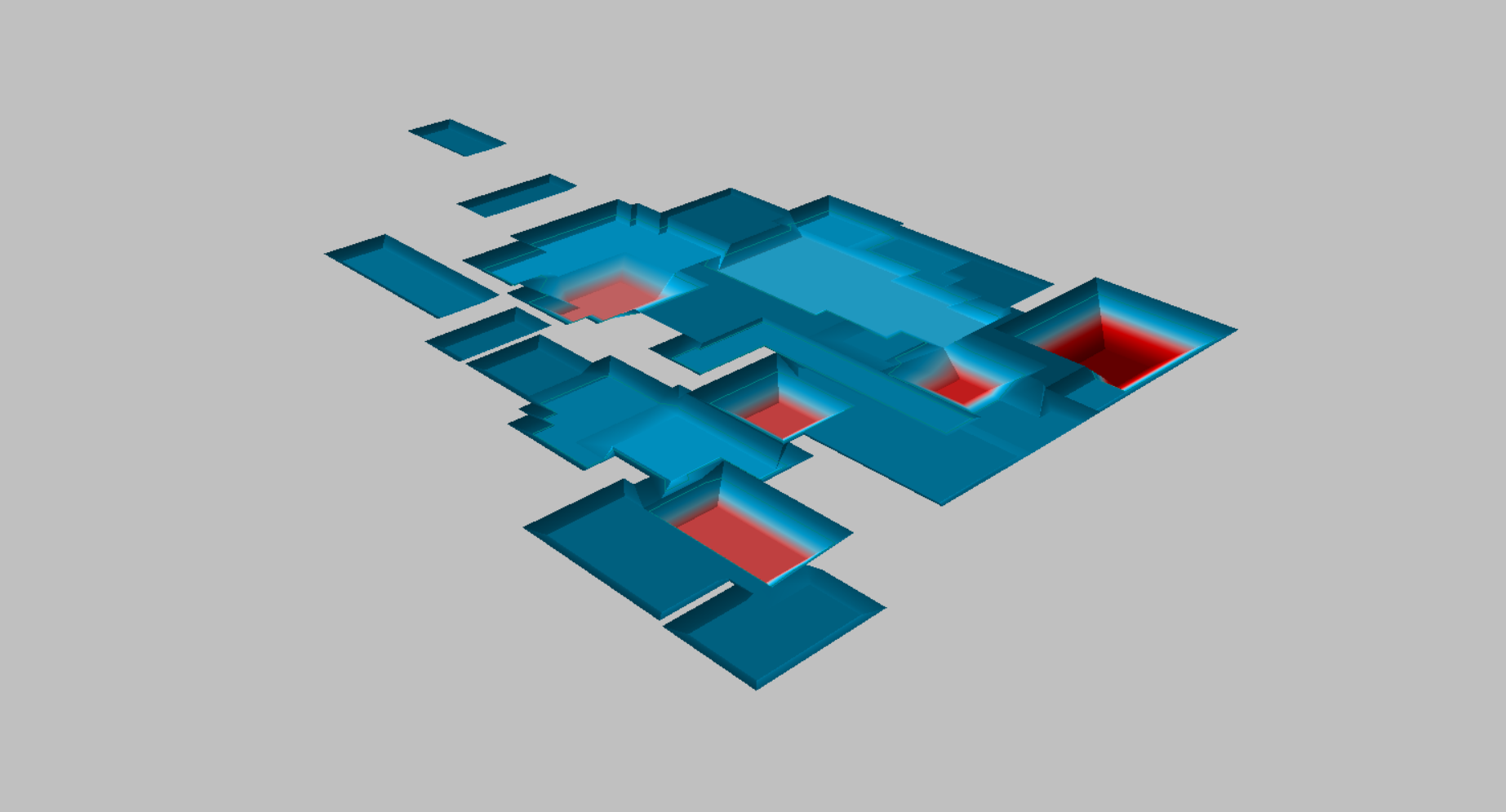
Drone Surveys
”Drones” are here to stay we are an expereienced team having been using the latest drone survey tech since early 2015. Drones surveys can deliver many different types of survey data from your typical 3d Site plants to ortho photos and fly throughs. we are always on hand to discuss what is the best form of data for your project.